This trail is a 3.3 mile trail to a waterfall outside of Parsons, West Virginia.
This is a somewhat unofficial trail begins at the end of Forrest Service Road (FSR 244). There is room for 4-6 vehicles here but there are pull-offs close if the lot is full.
From the gate, walk 1.3-1.5 miles up the gravel road until you reach the tree with a smiling face carved into it on the left side of the trail.

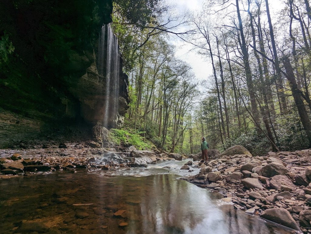
Then it is just a quick jot down over the hill to reach the waterfall. This trail does not have blaze and is not well established. You can see where others have walked in the leaves well enough until you hear the rushing of the water. From that point, you really can’t miss the falls.
My suggestion would be to download the area on google maps as the falls are a pinpoint on google. This is not an established trail on AllTrails or other maps to my knowledge.

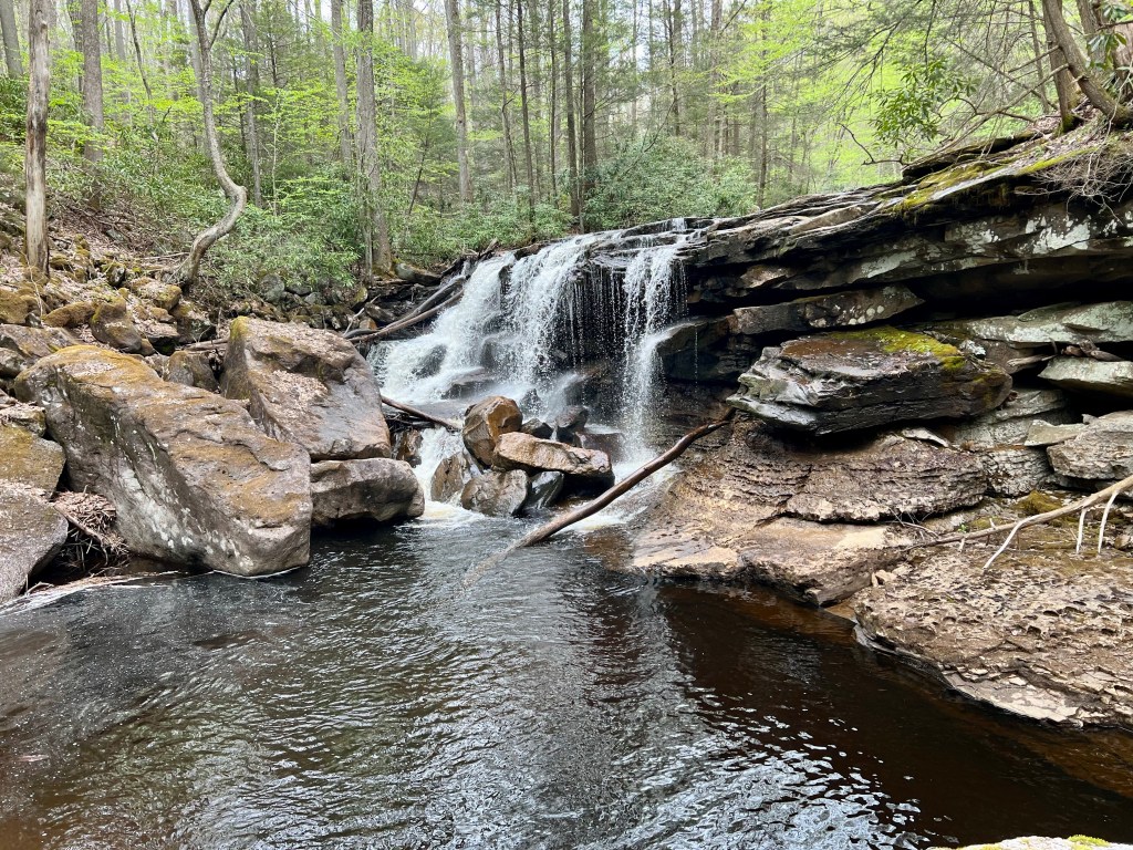
The falls are gorgeous, and offers a great place to swim. Fly fishing is also permitted in this area.
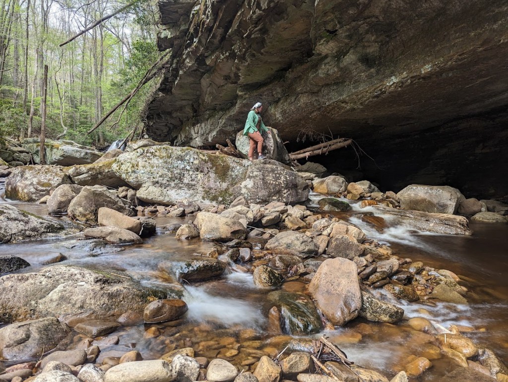
The creek has cut out the side of a rock face which gives a cave-like appearance. However the rock at this level is not the limestone necessary for cave formation.
Just below the main falls is a smaller fall that is weather dependent. In warmer, dryer months, this fall is barely a trickle.
GPS: (39.039963, -79.597499)
Ratings
Family Friendly: Yes
Pet Friendly: Yes
Solo Friendly: Yes
Female Friendly: Yes
Cell Phone Friendly: No
As always, I hope this inspires you to get out there and see WV!

Leave a comment