
Everyone knows Dolly Sods for its breathtaking plateaus, and scenic views. However, many are not aware of the beautiful waterways carving themselves through the rugged terrain. In this post, I’ll share a newfound hidden gem in Dolly Sods Wilderness Area.
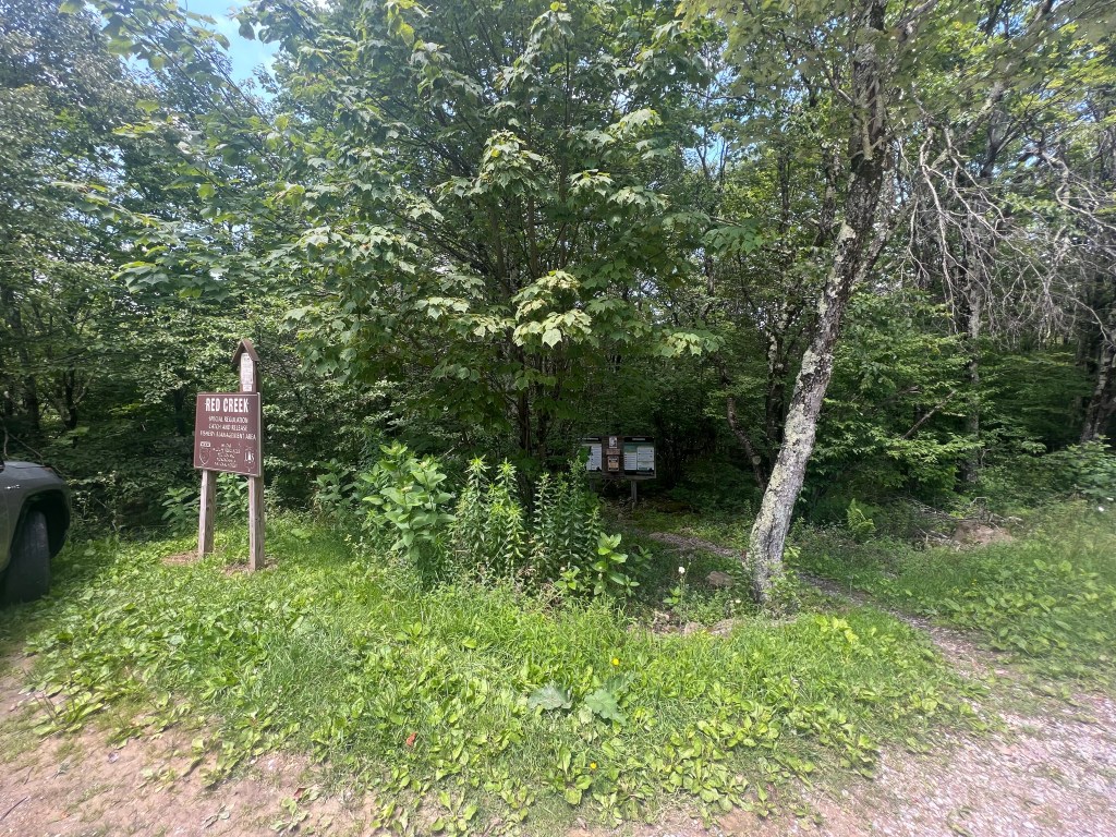
To begin, start at the Fisher Spring Run Trailhead a bit before Red Creek Campground on the left (if you are coming from Canaan Valley on FR75). In the parking area, there are several parking spaces for regular sized vehicles.

Please make sure to register at the trailhead. Include those in your party, which trails you will be traveling, how many days you expect to spend in the wilderness, as well as your zip code. In the past, I always assumed this process was merely to help find lost hikers. However, I recently learned that this information is not used for rescues but rather by wilderness stewards and conservation groups.
Sharing your information at trail registries allows conservation and other groups to gather data. This information is used to look at several facets of outdoor recreation and wilderness conservation.
Sharing zip codes allows groups to detail what populations are most frequently visiting the trails. This also details an estimate of how far visitors are willing to travel to recreate. Sharing information about time spent on trails helps groups pinpoint high traffic areas, and may give way to increased funding for trail maintenance and vegetation reclamation. This information, as well as other gathered data points, helps groups research decreases in wilderness solitude, an emerging issue in many local wilderness areas.
Sorry for the tedtalk, I just never knew the true purpose of the trail registries until recently. I’ll get back to the trail…
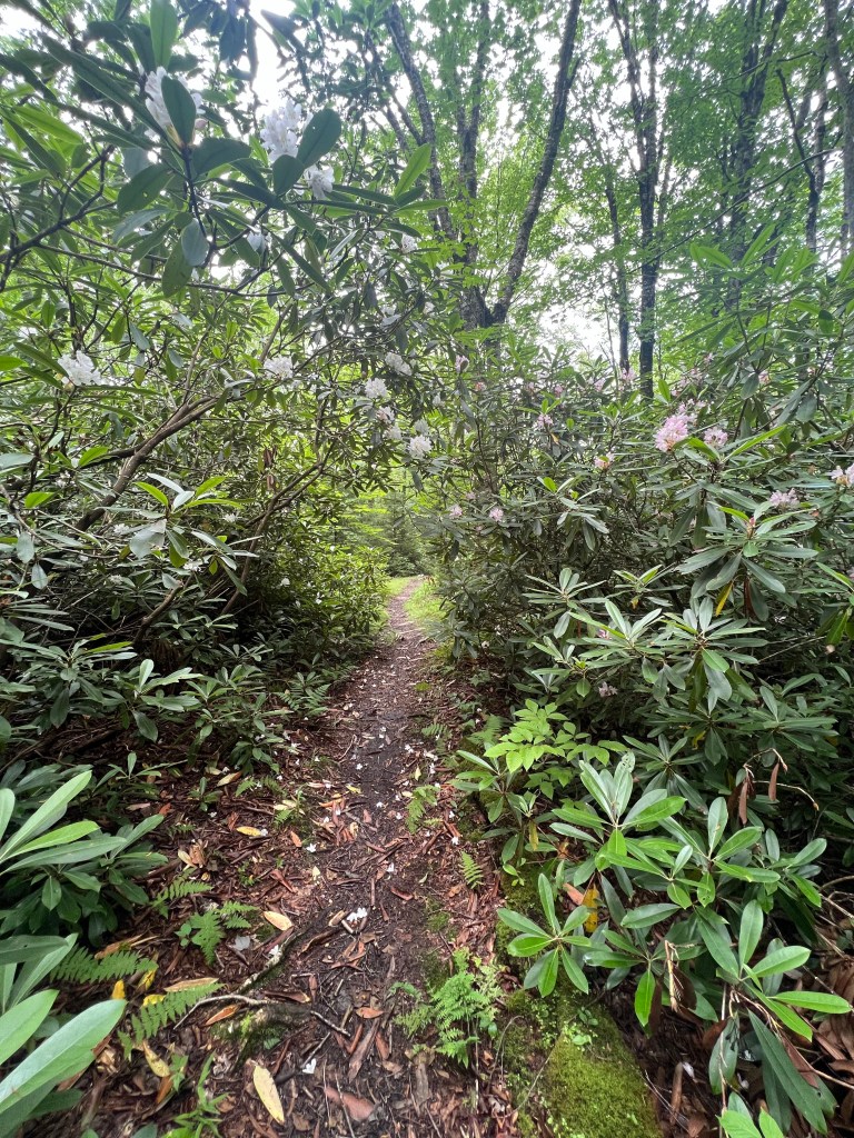
Soon after the trail begins, a dense rhododendron section creates a tunnel. Although I do enjoy the beauty of the green tunnel, it does open up after a short distance. The trail continues to descend into the valley at a gradual grade before intersecting with Rohrbaugh Trail in a rather rocky section. After a short jot past the intersection, the trail begins to descend with a series of steep switchbacks to reach Red Creek.
As Red Creek comes into view, Fisher Spring Run Trail is intersected by an unmarked trial leading down to some campsites on the right. At this point, the falls are within earshot.
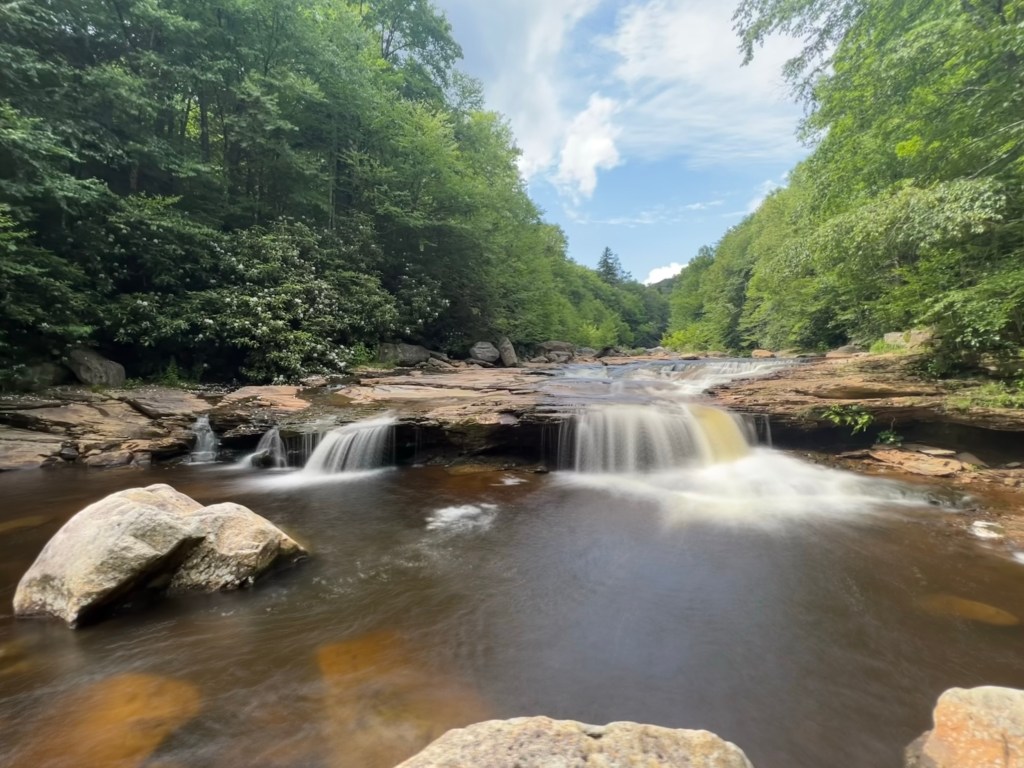
Destination falls is a small waterfall along Red Creek with a short natural waterslide above the falls. There are 2 small areas beside the falls to sit for admiration or picnics.
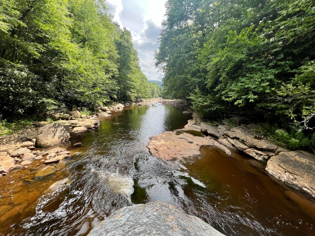
Just below the falls, there is a nice, deep swimming hole where I ate a picnic lunch.
After lunch and a good swim, I made the steep ascent back to the Rohrbaugh Trail intersection. Personally, I did feel that trekking poles were helpful during this section, so I would recommend trekking poles for this hike.
Overall, this hike is around 5 miles round trip. About 2.5 miles in and 2.5 miles out. My AllTrails data shows a bit more, however, I did some more light exploration of nearby campsites and Red Creek that day. All in all, this was a pleasant afternoon hike to a hidden gem in Dolly Sods.
AllTrails: Fisher Spring Run Trail to Red Creek on AllTrails
https://www.alltrails.com/trail/us/west-virginia/fisher-spring-run-trail-to-red-creek?sh=v2mdyv
Ratings:
Family Friendly: yes
Pet Friendly: yes
Solo Friendly: yes
Female Friendly: yes
Cell Friendly: No

Leave a comment